
The next crop report may come from the sky. Across Canada, drones are beginning to measure not just how grain looks, but how valuable it may be when it reaches the bin.
Why protein quality matters so much
Protein is one of the most important quality traits in many grain crops, especially wheat, barley, and some specialty cereals. It influences milling performance, feed value, export grades, and ultimately the price a farmer can receive. In practical terms, two fields that look equally healthy from the road can deliver very different market outcomes if their protein levels diverge.
That is why growers have long relied on lab testing, harvest samples, and experience to judge crop quality. The problem is timing. By the time grain is sampled and analyzed, key fertilizer and marketing decisions may already be locked in, leaving little room to improve returns within the season.
What the drones are actually measuring
This shift is not about ordinary aerial photography. The drones being tested over Canadian fields carry multispectral or hyperspectral sensors that capture light reflected by crop canopies across wavelengths the human eye cannot see. Those signatures can be linked to nitrogen status, plant vigor, moisture conditions, and, with the right models, estimated protein concentration.
Researchers then compare drone readings with plant tissue tests, harvest samples, and lab-confirmed grain protein results. Over time, algorithms learn which spectral patterns best predict quality. According to Canadian university and agriculture research teams, the goal is not to replace laboratory analysis entirely, but to create reliable field-scale estimates early enough to support management decisions.
Why Canada is a natural testing ground

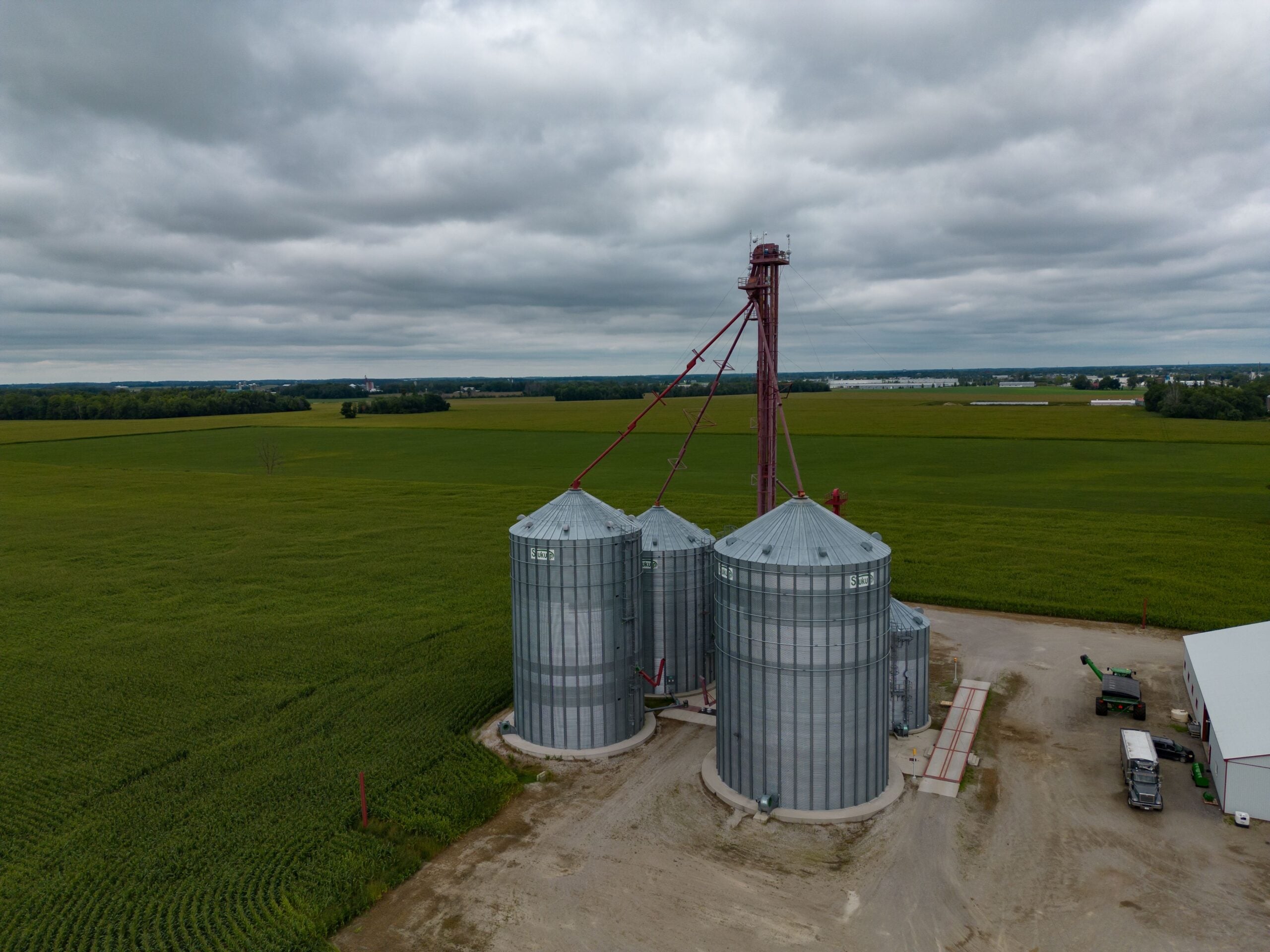
Canada has strong reasons to pursue this technology aggressively. Western Canada is one of the world's largest grain-producing regions, and protein premiums can significantly affect farm income, particularly in hard red spring wheat. Weather variability, soil differences, and uneven nitrogen uptake often create major quality swings even within the same quarter section.
That makes drones especially useful because they can map variability at high resolution. Instead of treating a field as one uniform unit, farmers can see where crop protein potential is rising or slipping. In regions where every rain event, heat spell, or fertilizer pass can alter final grain quality, that level of detail offers a clear economic edge.
How farmers could use the data in real life

The most immediate value may come from nitrogen management. Protein in grain is closely tied to nitrogen availability, so in-season drone scans could help identify where crops are likely under-supplied. If conditions and timing allow, farmers might use that information to make a late nitrogen application targeted to zones where added input has the best chance of lifting protein.
The data could also support harvest and storage strategy. A farm that knows one field or field zone is likely to produce higher-protein grain can plan separate handling, preserve premiums, and market more confidently. Over time, these maps may also help refine seed selection, rotation planning, and variable-rate fertilizer programs.
The limits researchers are still working through

No one in agriculture should confuse promise with perfection. Protein prediction from the air is technically challenging because readings can be influenced by cloud cover, crop stage, disease pressure, soil background, and differences among varieties. A model that performs well in one province or one season may need recalibration elsewhere.
There is also a distinction between total protein and end-use quality. For some crops, buyers care about broader functional traits, not just a headline protein number. That means drone systems must be validated carefully and used alongside agronomic knowledge, ground samples, and local conditions rather than as a standalone answer.
What this could mean for the future of grain farming

The larger story is that crop scouting is moving beyond visual assessment into biochemical insight. Drones are becoming tools for measuring value, not just spotting weeds, lodging, or water stress. As sensors improve and machine-learning models mature, farmers may be able to estimate both yield and quality across a field with remarkable speed.
If that happens, grain farming becomes more precise at the moments that matter most. Decisions about fertilizer, segregation, contracts, and logistics can be made with stronger evidence instead of educated guesswork. For Canadian agriculture, that could mean a future where quality management starts weeks before harvest, guided by data collected a few metres above the crop.



Leave a Reply